Key Points
- Australia’s south-eastern states will see temperatures in the high 30s to low 40s, generating fire conditions.
- Fire dangers are expected in South Australia, with catastrophic ratings in two regions.
- Severe storms will batter inland Western Australia, parts of Queensland and north-east NSW.
People in Australia’s south and south-east have been told to brace for elevated fire dangers this weekend — with heat and strong winds expected in the coming days.
According to the Bureau of Meteorology (BoM), gusty conditions and temperatures in the high 30s to low 40s will push into parts of South Australia, Victoria and NSW over the weekend.
In particular, locally damaging winds will hit NSW and Victorian alpine areas. Severe weather warnings are expected to be issued in those areas.
The hot conditions will gradually contract to northern NSW and Queensland.
Catastrophic fire danger in South Australia
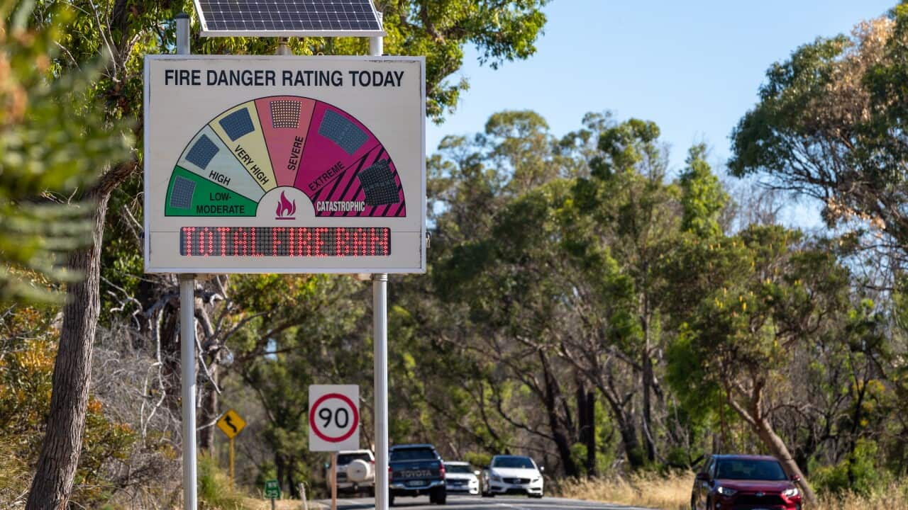
Fire dangers are expected to peak in southern parts of South Australia on Saturday, according to the BoM. A ‘catastrophic’ rating has been issued in the Eastern Eyre Peninsula and Yorke Peninsula.
Eight other districts in South Australia have a rating of ‘extreme’ — just one tier below ‘catastrophic’.
The SA Country Fire Service (CFS) has urged South Australians to be vigilant this weekend, with the first significant fire danger weather for the season predicted for Saturday.
“I urge residents to check any recent private burn-offs today and tomorrow to ensure they are completely extinguished and cold,” Brett Loughlin, CFS Chief Officer, said.
“We ask the public to support us by refraining from engaging in risky activities this weekend during what are set to be hazardous fire conditions.
“We also urge anyone travelling in country areas to know their risk by checking the fire danger ratings in the district they are moving in or through and to stay alert and informed of fires in the area.”
Extreme and high fire dangers in QLD, NSW and Victoria
Extreme fire danger is also forecast for north-west Victoria while Queensland’s Channel Country, central west, central highlights and Coalfields, and Maranoa and Warrego are facing high fire risk.
Hot and gusty conditions may impact fires that are already ongoing or start new fires in those areas.
While conditions are expected to ease by Sunday, extreme fires are forecasted for the north-west slopes and plains of NSW and Queensland’s Channel Country.
Thunderstorms are anticipated across much of the country in a horseshoe pattern — said to impact the west, north and east.
Severe storms will batter inland Western Australia, through parts of central and southeast Queensland, and north-east NSW.
In the eastern areas, the BoM predicts damaging wind gusts, heavy rainfall or large hail.
By Saturday, the storm areas will extend further south into South Australia and inland NSW. In those areas, dry thunderstorms are said to compound the risk of fires.
Widespread rainfall is expected on Sunday and is forecast to contract into the northern states by Monday.


